
Drop your photos in. Get maps.
Turn your photos into maps, models, and measurable data. Nothing to install. Just upload and go.
Drop your photos here!
From photos to maps in hours.
Upload your photos and get back results you can work with. Measure, view, and share it all online.
- 1
Upload
Drag and drop your photos straight into the app. Every image is checked for quality before processing starts.
- 2
Choose output
Select the outputs your project needs, from orthomosaics and DSM or DTM elevation models to 3D point clouds, thermal and NDVI maps.
- 3
Process
Our cloud photogrammetry engine does the heavy lifting. Follow the progress in real time and get notified the moment your results are ready.
- 4
View & share
Explore your results in the online viewer, measure distance, area and height, then share a link with your team or download the files.
Every drone mapping output you need
Every project asks for something different. Select any deliverable your project requires and MapperTool does the rest.
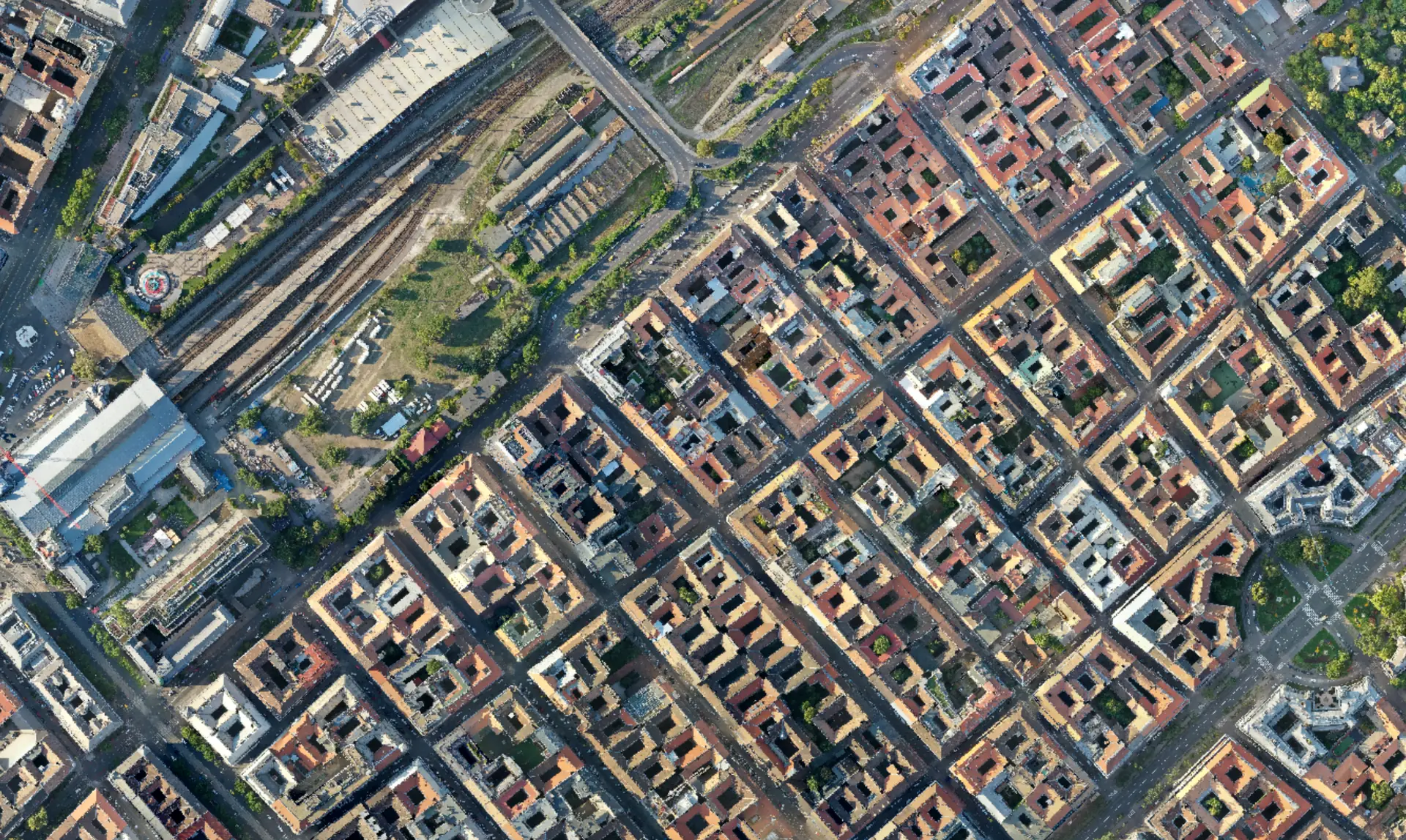
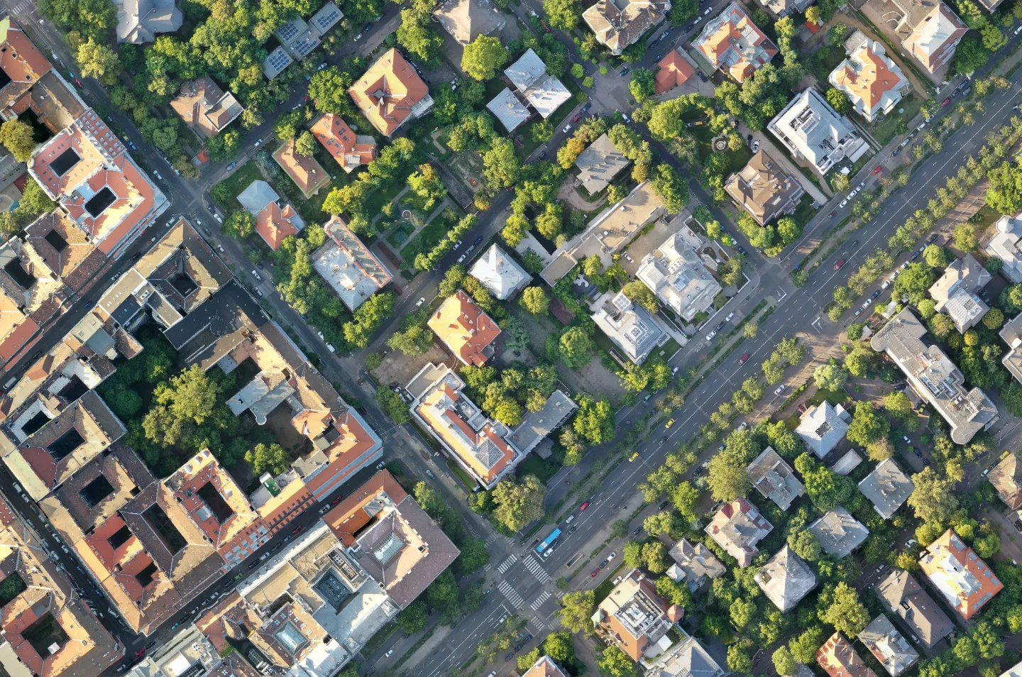
Orthomosaic
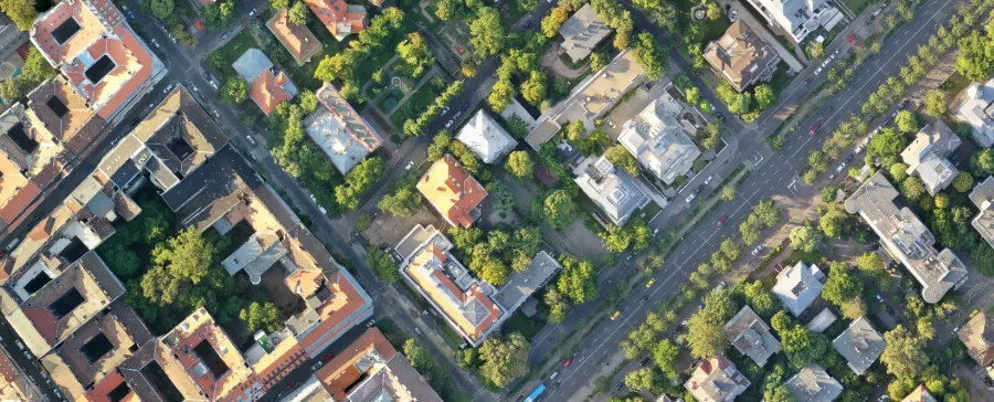
Georeferenced true-color map of the whole site. GeoTIFF or JPG, ready for CAD and GIS.
An orthomosaic stitches hundreds of overlapping photos into one seamless, top-down map where every pixel sits in its true geographic position. Scale is consistent edge to edge, so you can measure on it and drop it straight into CAD or GIS.
- Georeferenced GeoTIFF plus lightweight JPG export
- Consistent scale for accurate on-map measurement
- Ready for CAD, GIS and survey reports
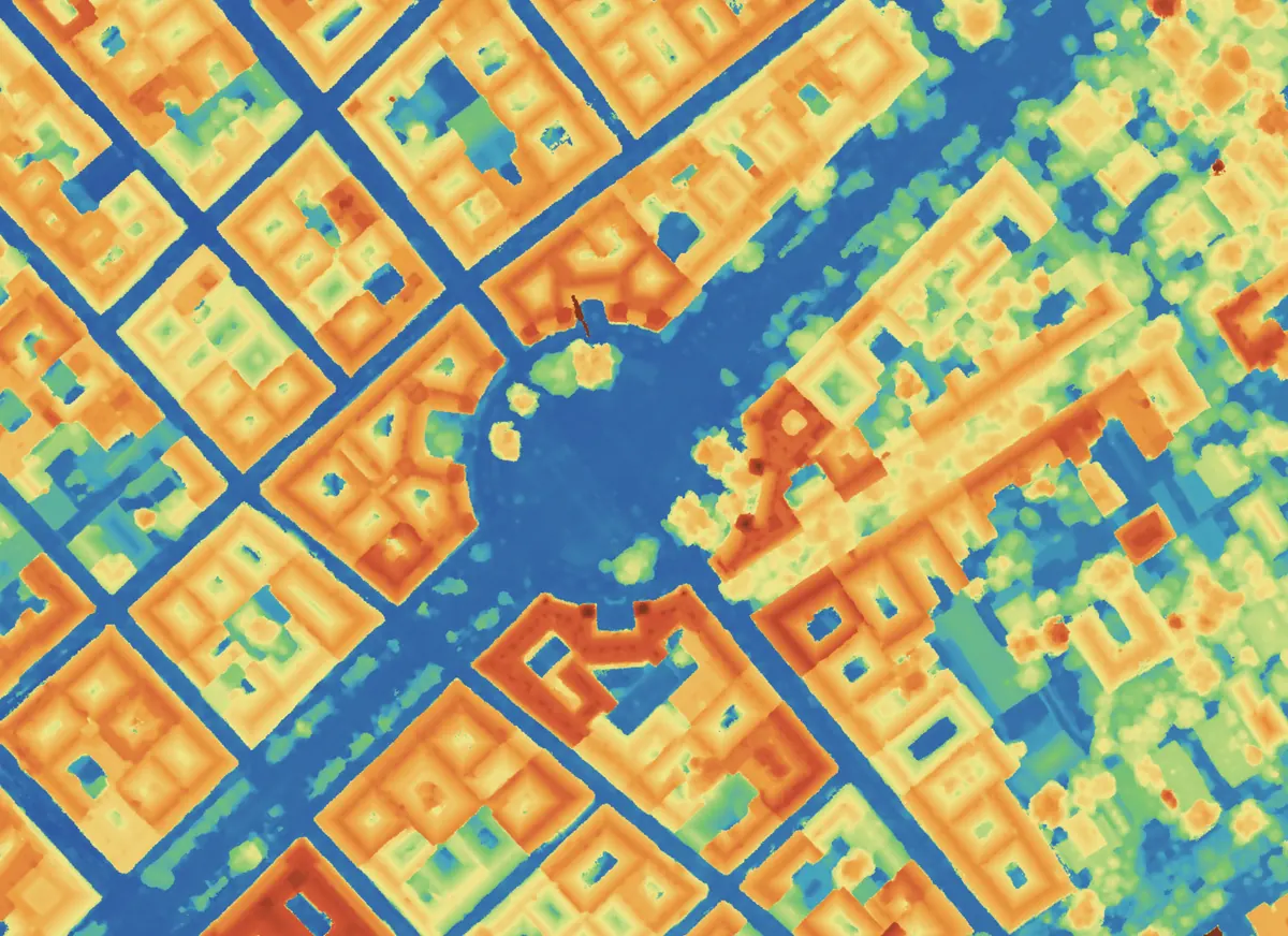
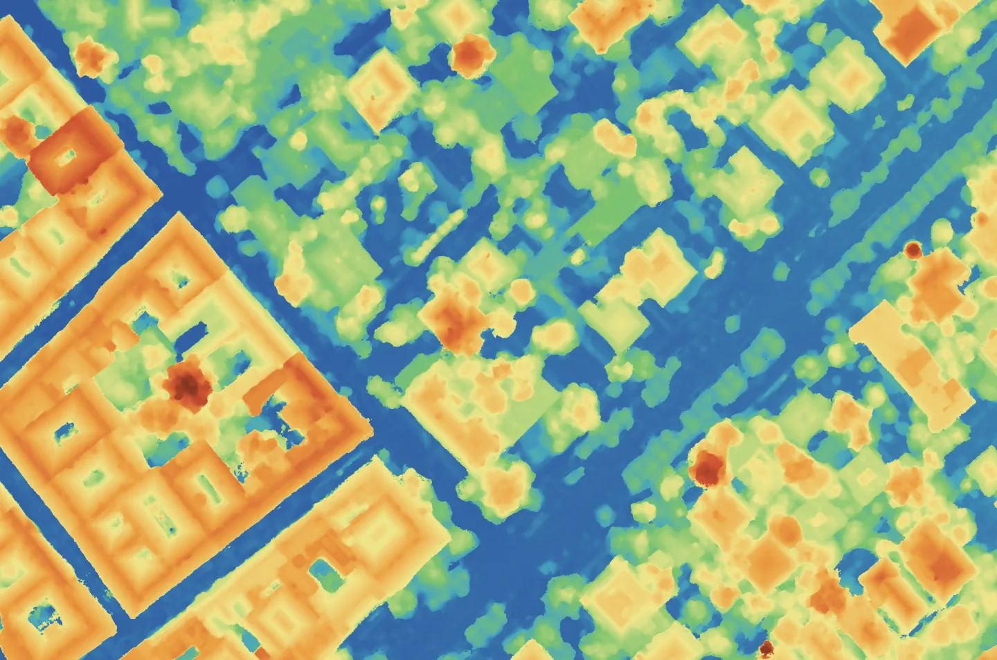
DSM
Surface elevation including buildings and canopy, with color ramp and per-pixel values.
A Digital Surface Model records the height of everything the drone sees, the ground plus buildings, vegetation and structures, as a per-pixel elevation raster you read with a colour ramp and legend.
- Per-pixel elevation values
- Colour ramp and legend in the viewer
- Basis for volumes and line-of-sight
DTM
Bare-earth terrain with structures removed. Volumes, drainage and cut/fill start here.
A Digital Terrain Model removes buildings and vegetation to leave the bare-earth surface, the reference you need for cut-and-fill, drainage and earthwork volumes.
- Bare-earth elevation
- Volume and drainage analysis
- Pairs with the DSM to isolate objects
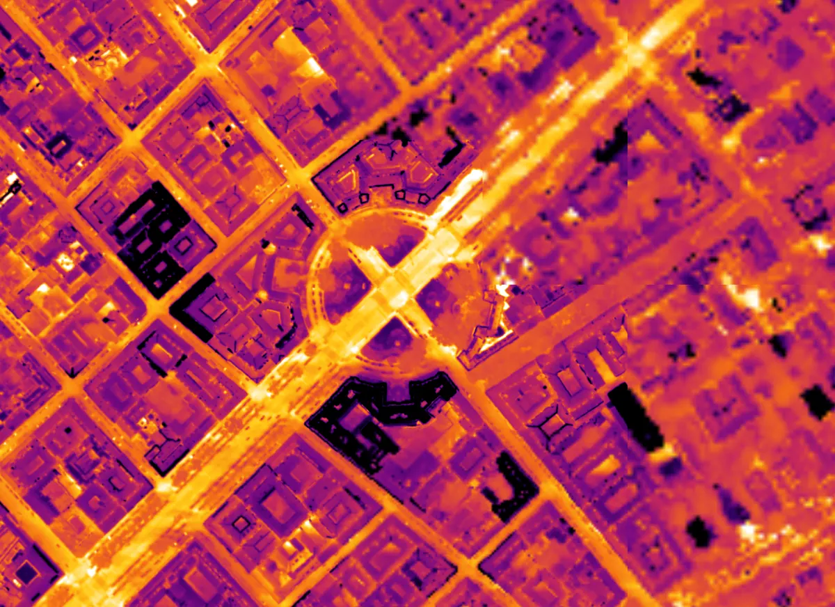
Thermal map
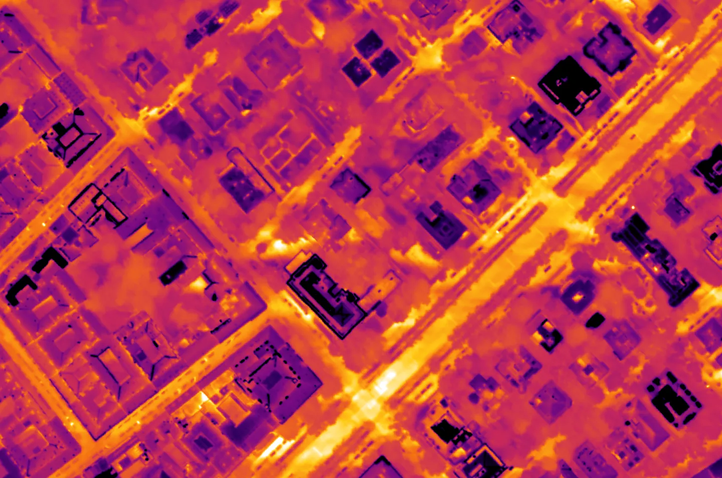
Radiometric heat map. Find hot spots on roofs, solar farms and infrastructure.
A radiometric thermal orthomosaic maps surface temperature across the whole site, so you can find hot spots on roofs, solar arrays and electrical assets during inspection.
- Per-pixel surface temperature
- Find hot spots fast
- Roof, solar and electrical inspection
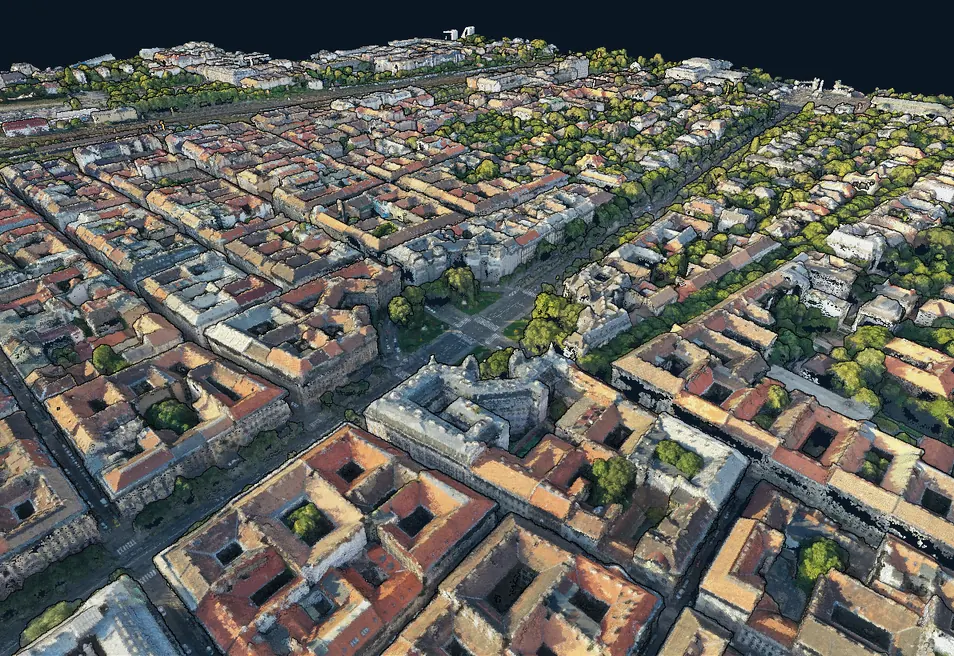
3D point cloud
Dense georeferenced point cloud you can spin, slice and measure in the browser.
A dense 3D point cloud reconstructs the site as millions of measured points you can orbit, slice and measure in three dimensions, right in the browser.
- Millions of georeferenced points (LAZ)
- Orbit, slice and measure in 3D
- Streams straight in the browser, nothing to install
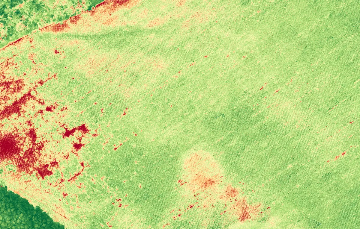
NDVI
Vegetation health from multispectral imagery. Catch crop stress before it is visible.
NDVI turns multispectral imagery into a vegetation-health index, highlighting where crops are vigorous and where they are stressed, often long before it is visible to the eye.
- Spot crop stress early
- See field variability at a glance
- Export for precision-agriculture tools

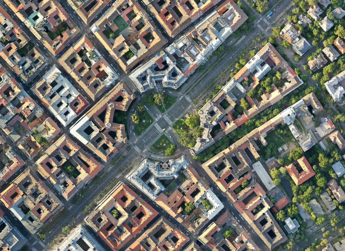
Orthomosaic
Georeferenced true-color map of the whole site. GeoTIFF or JPG, ready for CAD and GIS.
An online viewer you can actually use
No downloads, no installs. Open your results online, measure what matters, and share the results with your team or client.
Measure on the map
Click on the map to measure length, area or height without downloading anything.
Toggle every output
Switch between ortho, elevation, thermal and NDVI layers without leaving the map.
Spin the 3D point cloud
Rotate, inspect and measure your georeferenced point cloud without any 3D software.
Share the project
Share a link to your project that anyone can open and measure, with expiry and permissions you control.
See for yourself
Plans for every workload
Start free and upgrade when you need more photos, more outputs or longer project access. Every plan includes the full viewer and sharing.
Are you a drone school or training provider? Contact us for discounted rates and details on our partner program.
Support
Need a hand?
Send us a message and we usually reply within one business day.
Docs
Get the most out of MapperTool
Short guides that walk you through every step of the workflow.
Frequently asked questions
Everything you need to know before your first drone mapping project.
MapperTool is online photo processing software that turns your images into orthomosaics, DSM and DTM elevation models, 3D point clouds, thermal and NDVI maps. It works with photos from drones, aircraft or handheld cameras. Everything runs in the cloud, so you upload in the browser and get georeferenced, measurable outputs back without installing anything.
Yes. MapperTool is completely free to use. You can create an account, upload a dataset, generate your outputs and measure them online without paying anything. There is no trial limit and no credit card required to start processing your first project.
No. MapperTool is fully online photogrammetry software. There is nothing to download, no plugins, no licences and no processing workstation to maintain. All you need is a browser and an internet connection, so you can work from a laptop, a tablet or straight from the field.
Yes. MapperTool is a free online alternative to Pix4D, DroneDeploy, Agisoft Metashape and similar desktop photogrammetry tools. You get the same core deliverables, orthomosaic, DSM, DTM and 3D point cloud, but without licence fees, installation or hardware requirements.
From a single upload you can generate an online orthophoto, DSM and DTM elevation models, a dense 3D point cloud, thermal maps and NDVI vegetation maps. Each output is produced on demand, so you only process what your project actually needs.
MapperTool works with standard JPG and TIFF images from any drone that records GPS position in the EXIF data, including DJI, Autel, Parrot and custom platforms. Thermal and multispectral imagery is supported as well, for thermal and NDVI map generation.
Yes. Every project opens in an interactive online viewer where you can switch between layers, measure distance, area and height directly on the imagery, and explore your 3D point cloud in the browser. No GIS software or CAD licence is needed to work with your results.
Yes. You can share your project with anyone who has a MapperTool account, even a free one. They simply open the link and get access to the finished project in their browser, where they can view and measure the results themselves. You decide whether they get viewer or editor rights, and you can set how long their access lasts. You can also download the outputs in standard formats for your own GIS or CAD workflow.
Projects stay available in your account for a set period, after which the outputs are removed permanently. You get a notification before a project expires so you have time to download everything you need.
Processing time depends on the size of your project and how busy the system is. Most projects are finished within a few hours. Higher subscription plans get priority in the processing queue, so their jobs start sooner. You can follow the live progress and queue position in your browser and you get notified as soon as the outputs are ready.
Accuracy depends on two things, the quality of your data capture and your subscription plan. Good overlap, stable lighting and accurate GPS positions in the images all improve the final result. Lower plans process at reduced resolution, while the Pro plan generates the outputs at the highest quality that can be extracted from your uploaded images.
MapperTool works anywhere photos need to become measurable spatial data. Surveyors use it for orthomosaics and elevation models, construction teams for site documentation and volume calculation, and solar, roof and infrastructure inspection teams for thermal maps. It is also used in agriculture for crop health monitoring with NDVI, in forestry, mining and quarrying, environmental monitoring, archaeology, damage assessment and urban planning. Training organisations use it to teach photogrammetry without desktop licence costs.